

DC-Dewatering
€ 588.00 – € 1,816.00 excl. VAT
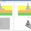
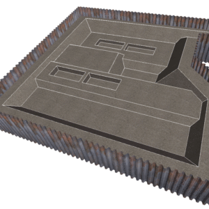
Groundwater lowering with multi-well installations.
Delivery
Electronic delivery, 1-3 working days after payment.
The DC-Dewatering program calculates groundwater lowering with multi-well installations. The calculation can be performed for the lowering of groundwater in several adjacent excavation pits of different depths with any number of wells and in a staggered arrangement.
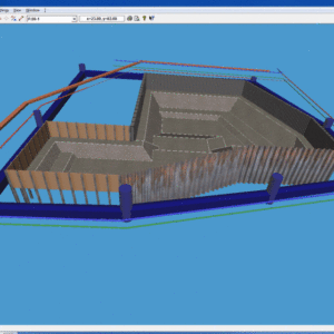
- Any number of excavation pits can be defined with different shapes and depths
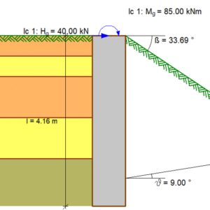
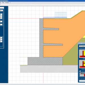
- Optional waterproof enclosure and waterproof invert
- Selection of various well systems: vertical or horizontal wells, vacuum or gravity wells, open dewatering
- Any number of wells with different diameters, depths and lowering aims
- A staggered arrangement of the wells is possible
- Optional automatic arrangement of wells with predefined diameters, depths and distances from the edge of the excavation pit (optimisation of the well location and depth)
- Horizontal soil stratification with different permeabilities
- Free, semi-confined or confined groundwater, optionally with a fixed water level from a nearby water body
- Lowering depth either predefined or adapted to the excavation depth
- Calculation and indication of the required pump water quantity, capacity, lowering and wetted filter height per well
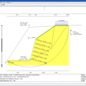
- Calculation of the decisive point for the lowering
- Calculation of the required number of wells
- Calculation of the extent according to Sichardt, according to Weyrauch, according to Weber or time-dependent
- Consideration of the influence of the wells on each other depending on their spacing
- Calculation of the residual flows from the wall and the invert as well as the inflows from precipitation for the trough construction
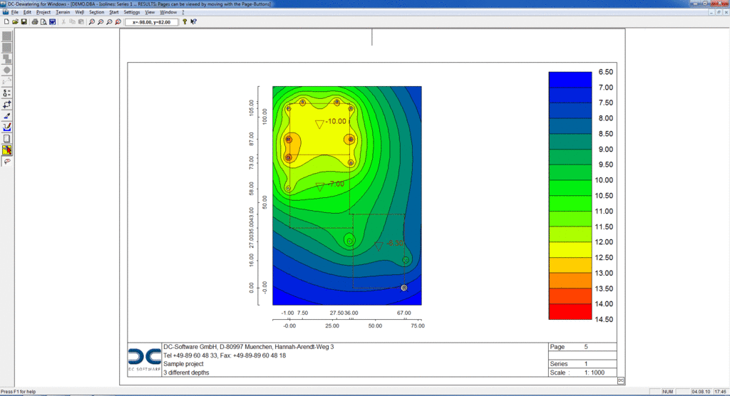
- Representation of the lowering via contour lines or coloured areas
- Representation of the water level along any section line
- The lowering can be displayed at any point in the user interface
- For the accurate internal modelling of the excavation pit dimensions, it is possible to import DXF graphics as a background.
- Output options: printer, PDF
- Interfaces: RTF export to MS Word, graphic export in JPG format, DXF export
DC-Software offers both perpetual and subscription licensing model.
* The perpetual license comes with a mandatory 1-year maintenance contract, which is included in the initial price. The maintenance contract encompasses all updates, new versions, and patches released during the period, as well as free online technical support. The maintenance contract is designed to auto-renew unless it is terminated 3 months prior to the expiration date. For details on the current pricing of the maintenance contract, please contact us.
Related products
DC-Software
DC-Software
DC-Software
DC-Software
DC-Software