
DCSECTION Pro
€ 2,610.00 excl. VAT
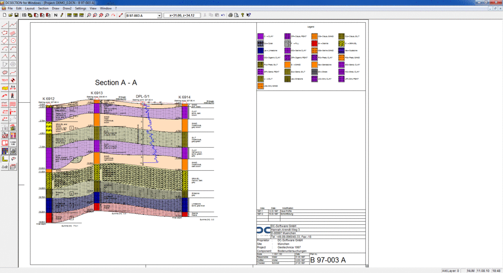
Geological sections and combination of all test graphics on plans up to DIN A0, incl. CAD functions, filling of layers etc., site map function (bore point map), automatic creation of sections along any section lines.
Perpetual web license. Price includes 1-year maintenance*.
Delivery
Electronic delivery, 1-3 working days after payment.
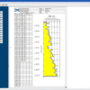
Site plan function:
- Creation of site plans (bore point map)
- CAD import via DXF or bitmaps
- Revision with numerous CAD functions
- Insertion of borings, dynamic probings, etc.
- With coordinates: correct positioning
- Drawing of the used sections
- Auto-Section for the longitudinal section
- Correct position and height automatically
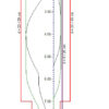
Geological Sections:
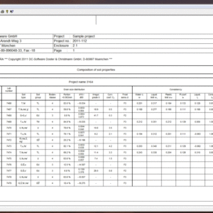
- Access to tests of DCBORE, DCPROBE, etc.
- Display of the data from one data base:
- Any changing displayed at once in the plan
- Autom. height position acc. to starting height
- Filling of soil layer areas of any shape
- NEW with Fill-Automatic between two bore hole logs
- Limitation with straight lines or curves (splines)
- Filling with layer symbols and colors
- Completion with numerous functions:
- Lines, texts, polygons, intersection, etc
- Free colors, line types, line widths, etc.
- Additional functions like elevations, symbols, kilometers, scale, railway line
- Automatic legend of all soil types
- Customizable title block
- Plan formats from A4 to A0 + free formats
- Display acc. to Swiss, Austrian and BS code: SN/VSS, ÖNORM, BS
- English, German, French language
* The perpetual license comes with a mandatory 1-year maintenance contract, which is included in the initial price. The maintenance contract encompasses all updates, new versions, and patches released during the period, as well as free online technical support. The maintenance contract is designed to auto-renew unless it is terminated 3 months prior to the expiration date. For details on the current pricing of the maintenance contract, please contact us.
Related products
DC-Software
DC-Software
DC-Software
DC-Software
DC-Software